Two rivers, one island, a whole way of life
Merritt Island is wrapped in water: the Indian River Lagoon to the west and the Banana River to the east, with the Atlantic Intracoastal Waterway threading past. That water-every-direction geography is why so many homes here come with a dock, a boat, and a horizon. This page is your field guide to the island's waterways, boat ramps, and the everyday marine life that makes it a true boating town.
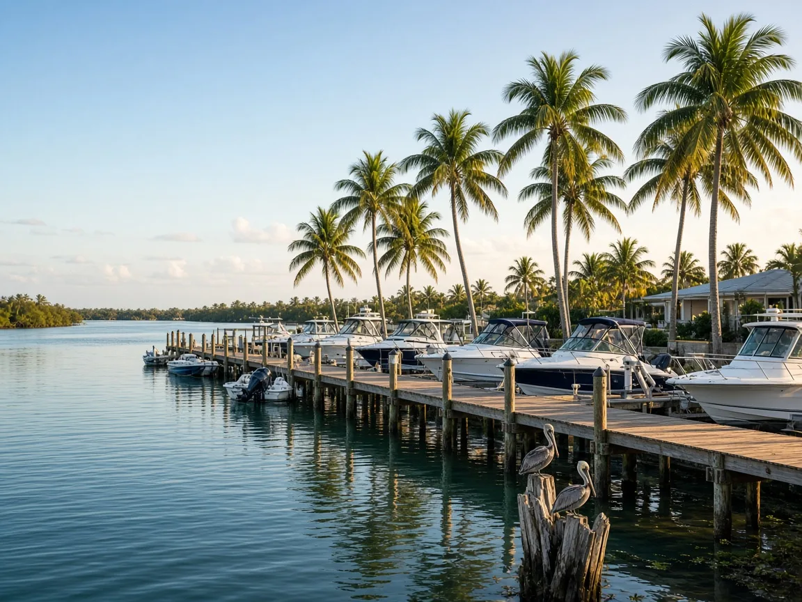
Two rivers, one island
Despite its name, Merritt Island is a peninsula stretching roughly 46 miles from near the Volusia County line down to Dragon Point, with an average elevation of only about three feet. The Indian River Lagoon lines the western shore, the Banana River lines the eastern shore, and the Atlantic Intracoastal Waterway runs close by. Low profile means big water views are everywhere, and nearly every direction eventually runs into the bay.
Marinas, ramps, and getting out
Boating is the island's native language. Brevard County maintains public boat ramps including the one at Kiwanis Island Park, and a network of marinas and waterfront businesses serve residents and visitors along both rivers. Printed ramp and marina lists change with the season, so we keep this as a general guide and let the local businesses, this site's boat ramp directory below, and the county park pages point you to current details.
Waterlife and wildlife
Dolphins slide through the Banana River all year, manatees drift through Sykes Creek in the cooler months, and pelicans, ospreys, and herons treat the shoreline like it belongs to them, because it does. The neighborhood's seagrass flats and mangrove edges make the island's near-shore waters some of the most alive on the Space Coast. Ask a local angler which flat is holding fish this week; the answer changes by tide.