Explore Merritt Island
The island, organized by locals
Explore Merritt Island is the neighborhood's where-to guide: neighborhoods, parks, waterways, schools, and attractions all in one place. Every fact here is sourced or clearly flagged while we confirm it, so you can explore with confidence.
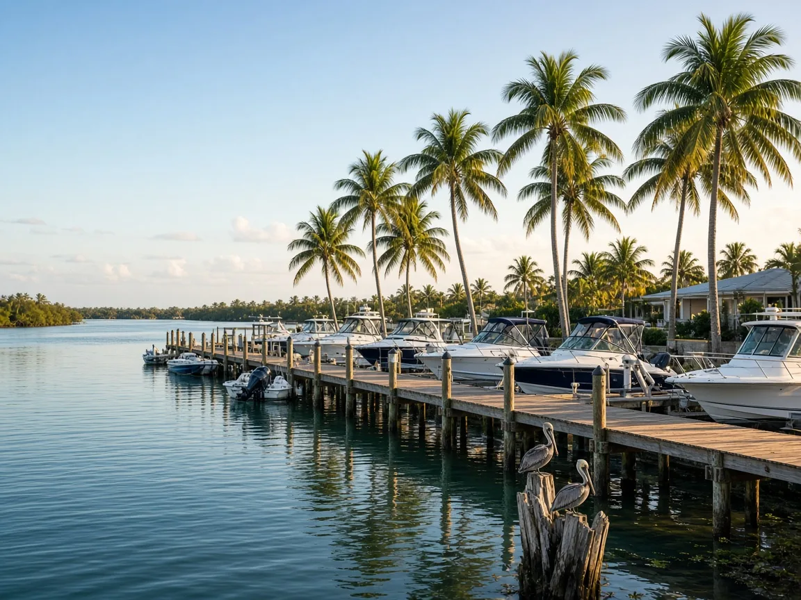
Two rivers, one island, a whole way of life
Explore Waterways & Boating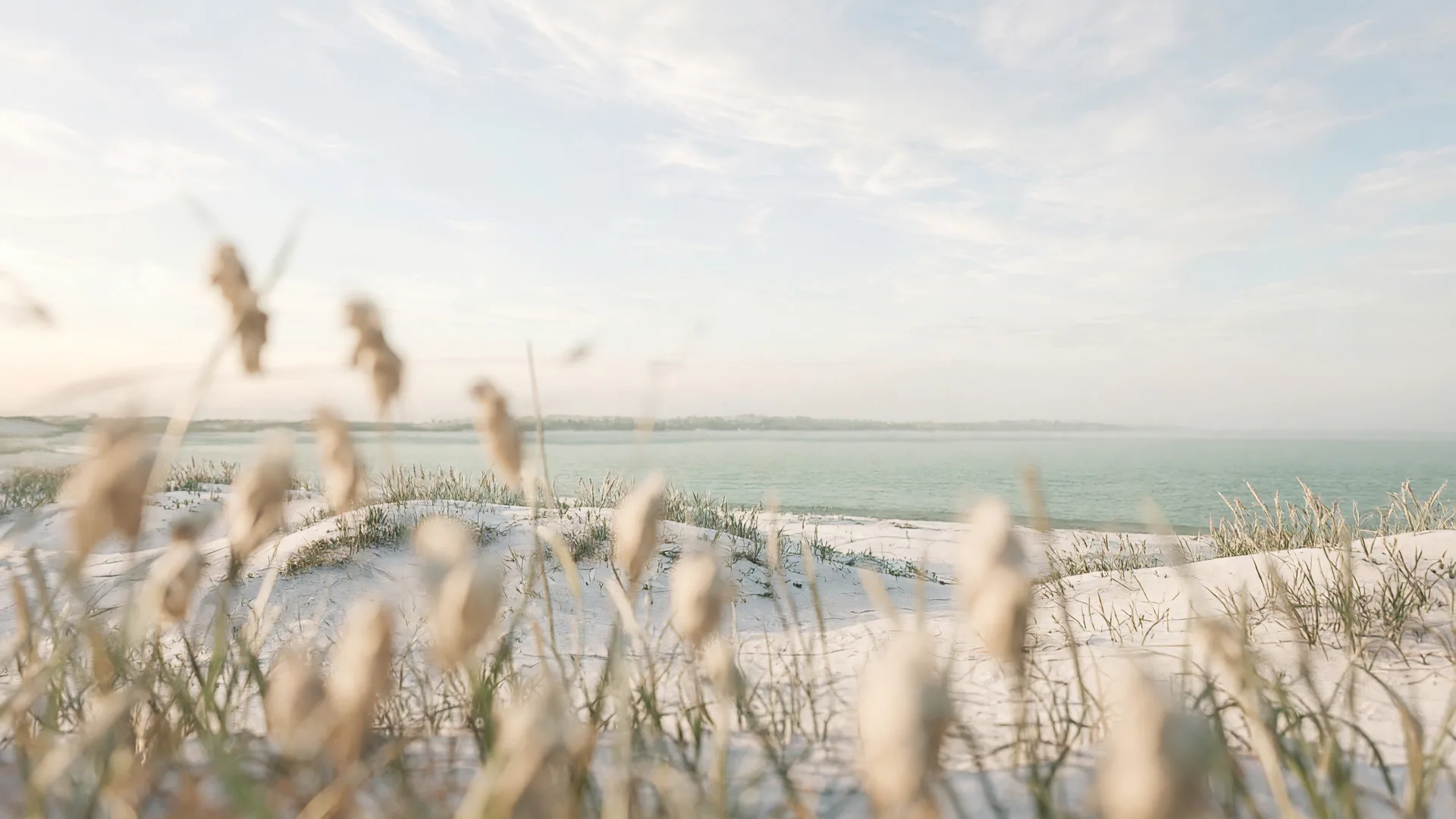
The island was made for being outside
Explore Parks & Outdoor Recreation
Brevard Public Schools, close to home
Explore Schools & Learning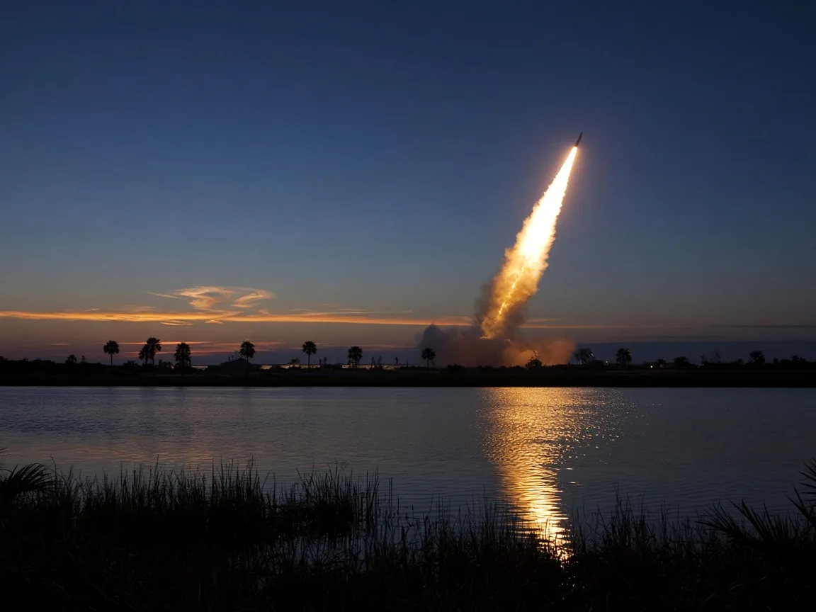
Rockets, refuge, and river towns
Explore Attractions & the Space Coast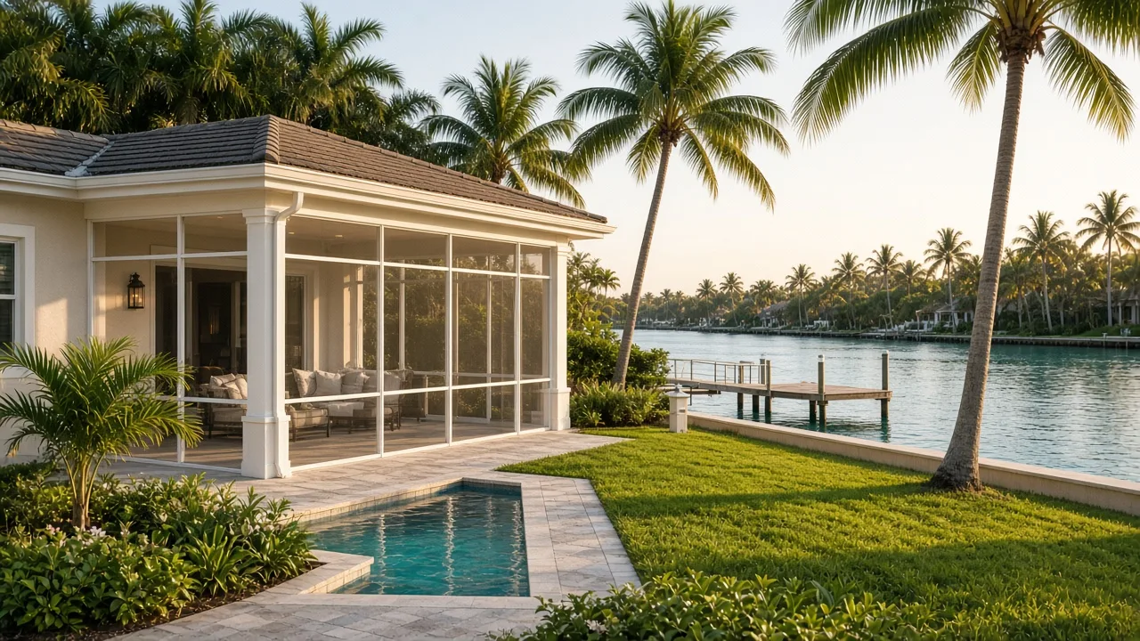
Choosing where island life fits you
Explore Neighborhoods & Waterfront LivingRelocating to Merritt Island
A practical moving guide for new islanders, from scouting weekends to school and flood details.
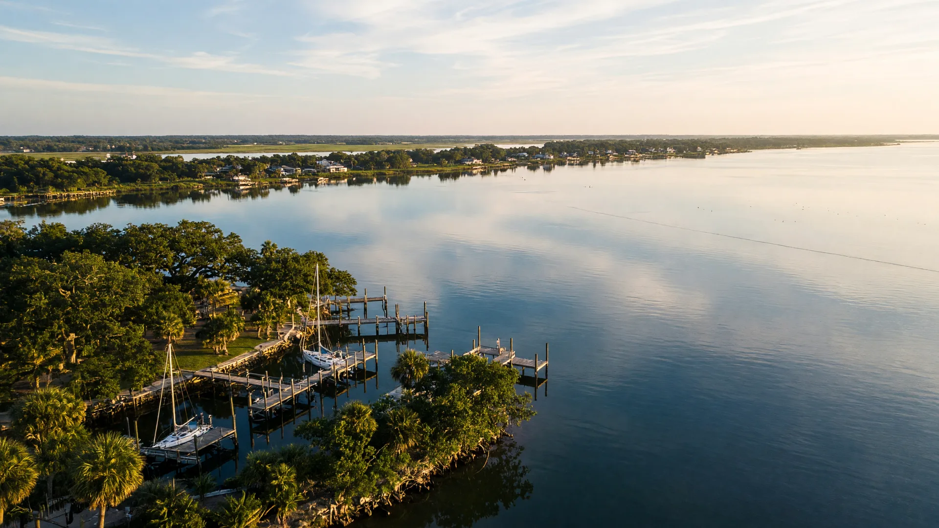
The lay of the island
An island that is really a peninsula.
About 46 miles of Merritt Island stretch between the Indian River Lagoon on the west and the Banana River on the east, with the Atlantic Intracoastal Waterway nearby. Space Coast and old-Florida life share one low-slung shoreline.
Questions we hear
Getting your bearings
-
How easily can I get out on the water?
Boat ramps, marinas, and the refuge's launch are all minutes from the island's neighborhoods.
-
Which schools serve Merritt Island?
Brevard Public Schools covers the island; assignments are address-specific, so we break down how to confirm.
-
Where should visiting families go first?
Markets on the weekend, the wildlife refuge, and Cocoa Village across the causeway are great starts.
At a glance
- Geography
- Peninsula, about 46 miles, roughly 3 ft elevation
- West shore
- Indian River Lagoon
- East shore
- Banana River
- Nearby
- Atlantic Intracoastal Waterway
- Character
- Old Florida, space center, refuge, and river towns